
Glacier Recession and “Burst” Sediment Transfer in the Fox Valley – New Zealand
The presentation of the work between Kobe University and Canterbury University on Sediment Transfer and…


")
The presentation of the work between Kobe University and Canterbury University on Sediment Transfer and…

I have updated the repository of the classes PDFs of the presentations for the international…

ゴメスと早川先生の浸食研究。

Based on the original research by Gomez and Kataoka on pumices in lahars, one important…

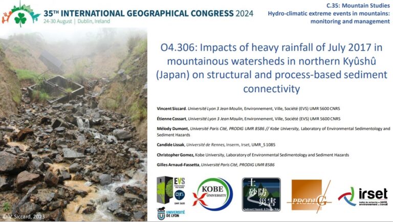

The presentation of the work between Kobe University and Canterbury University on Sediment Transfer and Landform Change in the aftermath of glacier recession is now up in the “Presentations” section. Go and check it out.

I have updated the repository of the classes PDFs of the presentations for the international program (please note that it only contains the classes I – C. Gomez – gave in the class. UMS – KU Geomorphology Classes – 地形・水文学・災害


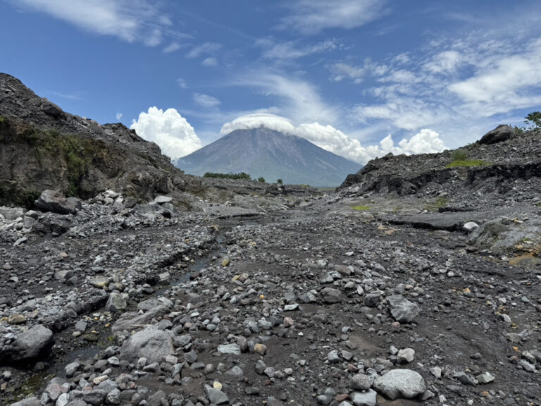
Based on the original research by Gomez and Kataoka on pumices in lahars, one important question about whether gas remained trapped in pumices while travelling in lahars, or whether they were becoming fully wet has been elucidated for the first time by Sho Sawada, working in collaboration with Ben Kennedy at Canterbury University, where Professor…

")
Emami, S.N., Yousefi, S., Gomez, C. et al. Multidisciplinary insights into landslide stability: geomorphology, mineralogy, and geotechnical analysis of the Afsarabad landslide. Environmental Earth Sciences 85, 248 (2026). https://doi.org/10.1007/s12665-026-12896-3 Abstract:The Afsarabad landslide represents a significant geological hazard in Iran that remains poorly understood due to limited integrated research. This study employs a multidisciplinary approach combining geological, mineralogical, geotechnical, and…

Daikai Rikuto published his research work on the movement of the Unzen Dome in the top journal in volcanology: Journal of volcanology and Geothermal Research. Congratulation Daikai-san! Rikuto Daikai, Christopher Gomez, Norifumi Hotta, Yoshinori Shinohara, 2026. Long-term deformation and surface change of the Heisei-Shinzan lava dome revealed by integrated monitoring,Journal of Volcanology and Geothermal Research,…

Lintang, N.F., Utami, S., Anjani, D.I., Nomura, M., Gomez, C. 2026. Assessment of microplastic abundance and anthropogenic contaminations of spring water in Merapi Volcano’s spring belt. Journal of Ecological Engineering.

This year, C. Gomez presents the work done with the team at Unzen Volcano over the last decade, linking gully floor stability, wall retreat mechanisms and debris-flow triggering. 2026年度の砂防学会発表です。 Link to the presentation file (click me)

C. Gomez, R. Daikai, J-H. Park, Y. Shinohara, N. Hota.


")